Antique maps catalogue
- All recent additions
-
Antique maps
- Polar maps
- World
-
Europe
- Europe Continent
- Belgium
- Belgium - Cities
- The Low Countries
- The Netherlands
- The Netherlands - Cities
- Luxembourg
- France
- France - Cities
- Germany
- Germany - Cities
- Austria
- Italy
- Italy - Cities
- Spain and Portugal
- Greece & Greek Islands
- Switzerland
- British Isles
- British Isles - Cities
- Northern Europe
- Central Europe
- Eastern Europe
- Southeastern Europe
- America
- Asia
- Africa
- Mediterranean Sea
- Australia
- Oceans
- Celestial Maps
- Curiosities
- Title Pages
- Books
- Medieval manuscripts
- Prints
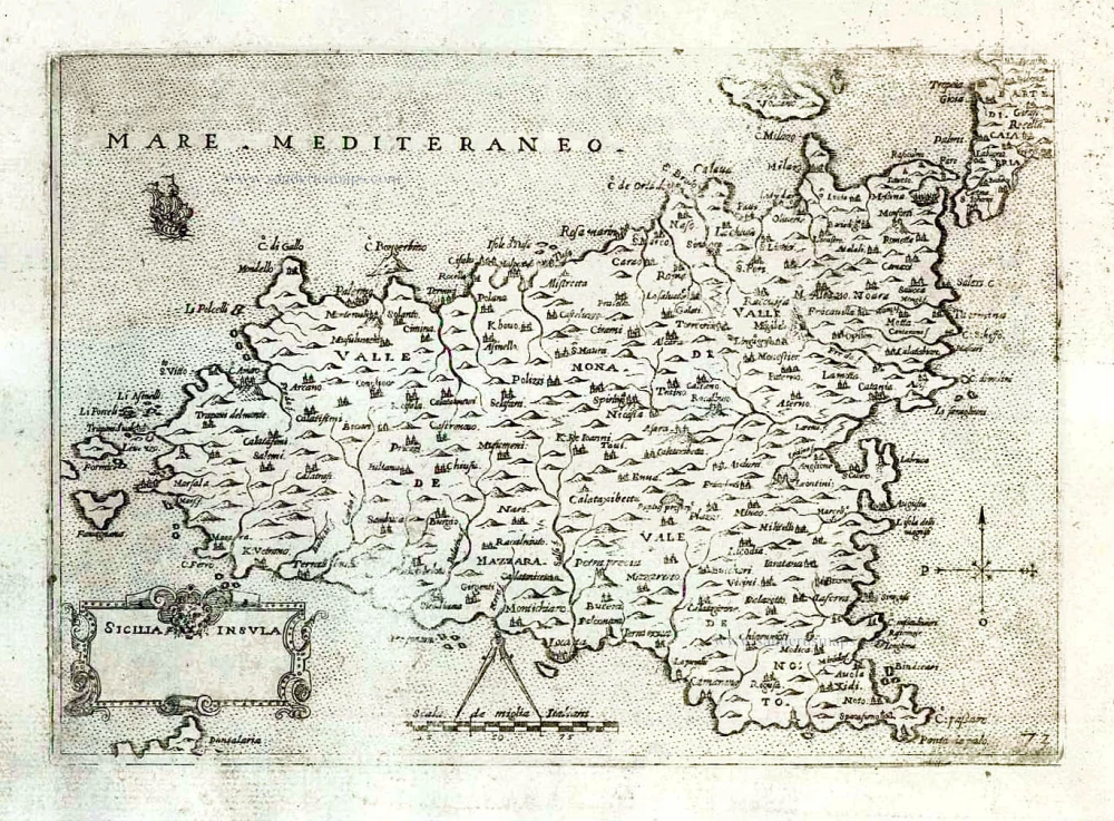
Sicily (Sicilia) by Giovanni Francesco Camocio After 1575
Sicilia Insula.
[Item number: 27566]

Ptolemy map of Africa by Martin Waldseemüller 1513
Tabula Quarta Africae
[Item number: 31187]

Deventer, by Joan Blaeu. 1652
Daventria Vernacule Deventer.
[Item number: 33206]
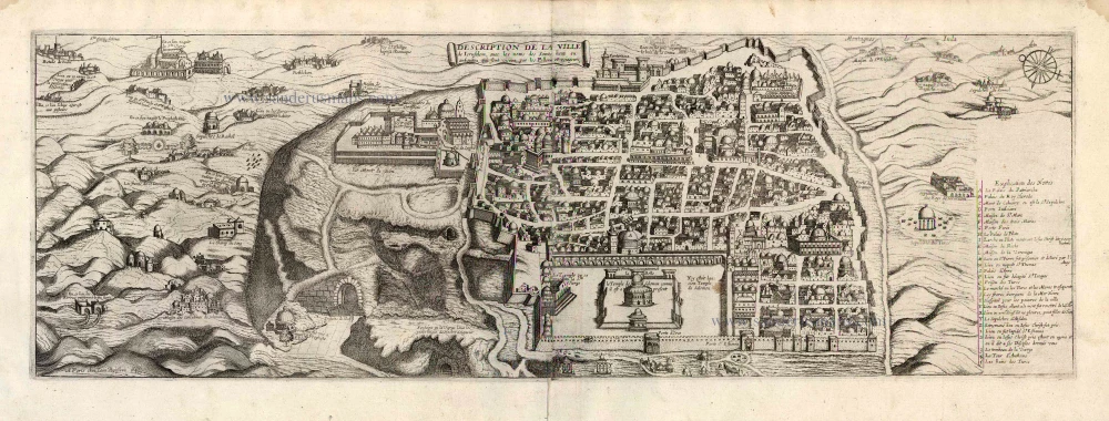
Jerusalem by J. Boisseau. 1648
Description de la Ville de Jerusalem avec les Noms des Saints...
[Item number: 25598]

Double hemisphere world map by Jodocus Hondius, published by Melchior Tavernier. c. 1630-1650
Nova Totius Terrarum Orbis Geographica ac Hydrographica auct:...
[Item number: 30840]

Northwest Italy by Pierre Mortier. c. 1700
Téatre dela Guerre en Italie ou Partie dela République de Venise...
[Item number: 32615]
Recent additions

The largest printed map of California as an island.
California by Nicolas de Fer. 1720
La Californie ou Nouvelle Caroline. Teatro de los Trabajos,...
[Item number: 33204]
new

Central America - Panama by Pierre Mortier. 1700
Carte Particuliere de Isthmus ou Darien qui Comprend le Golfe de...
[Item number: 33208]
new
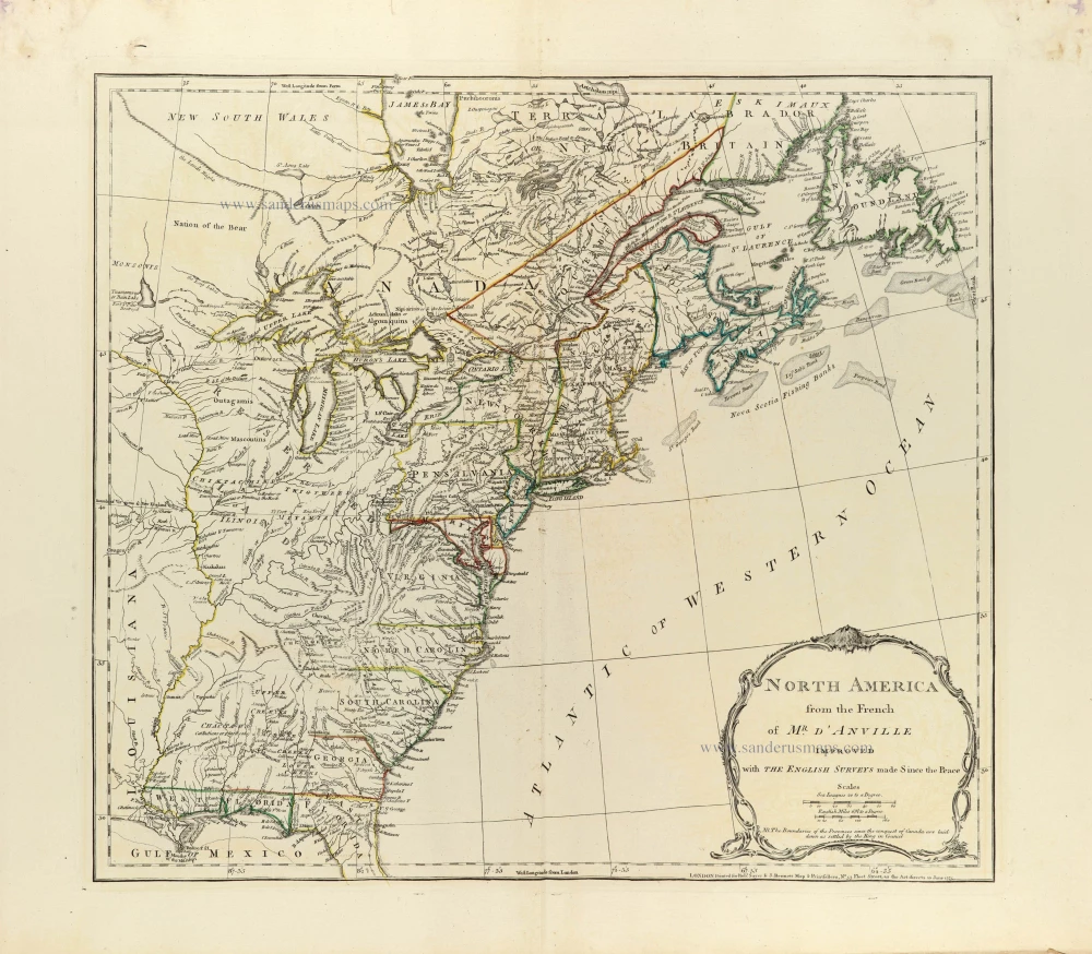
Eastern North America by J.B. Bourguignon d'Anville, published by Robert Sayer and John Bennett. 1775
North America from the French of Mr. d'Anville improved with The...
[Item number: 33360]
new
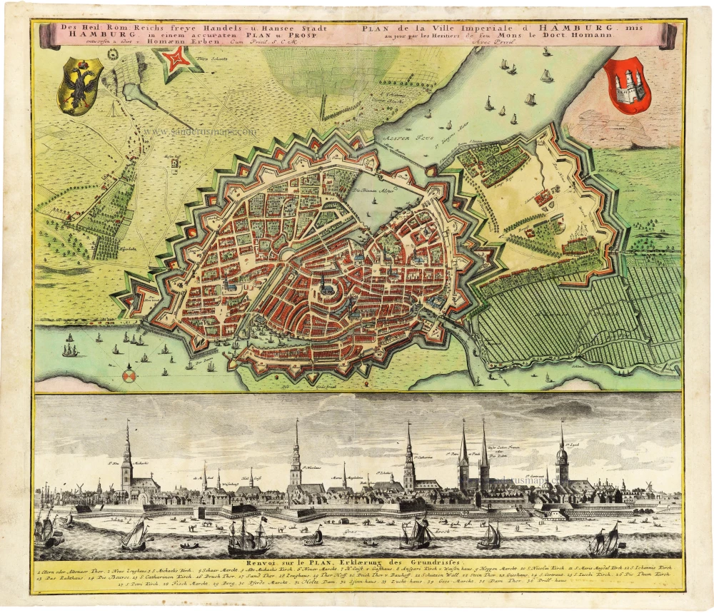
Plan and panoramic view of Hamburg, by Homann Heirs. After c. 1730
Des Heil: Rom: Reichs freye Handels- u. Hansee Stadt Hamburg in...
[Item number: 33278]
new
Welcome to Sanderus Antiquariaat
Antiquariaat Sanderus, named after the famous Flemish historian, Antonius Sanderus, is specialised in antiquarian books, medieval manuscripts, antique maps and prints from the 15th to the 18th centuries.
The company is a member of the Antiquarian Booksellers’ Association (ABA), the “The Belgian Royal Chamber of Antiques and Art Dealers” and the International Association of Antique Map Dealers (IAMA).