Antique map of Norway - Bergen by Braun & Hogenberg 1588-97
Bergen
Item Number: 22280 Authenticity Guarantee
Category: Antique maps > Europe > Northern Europe
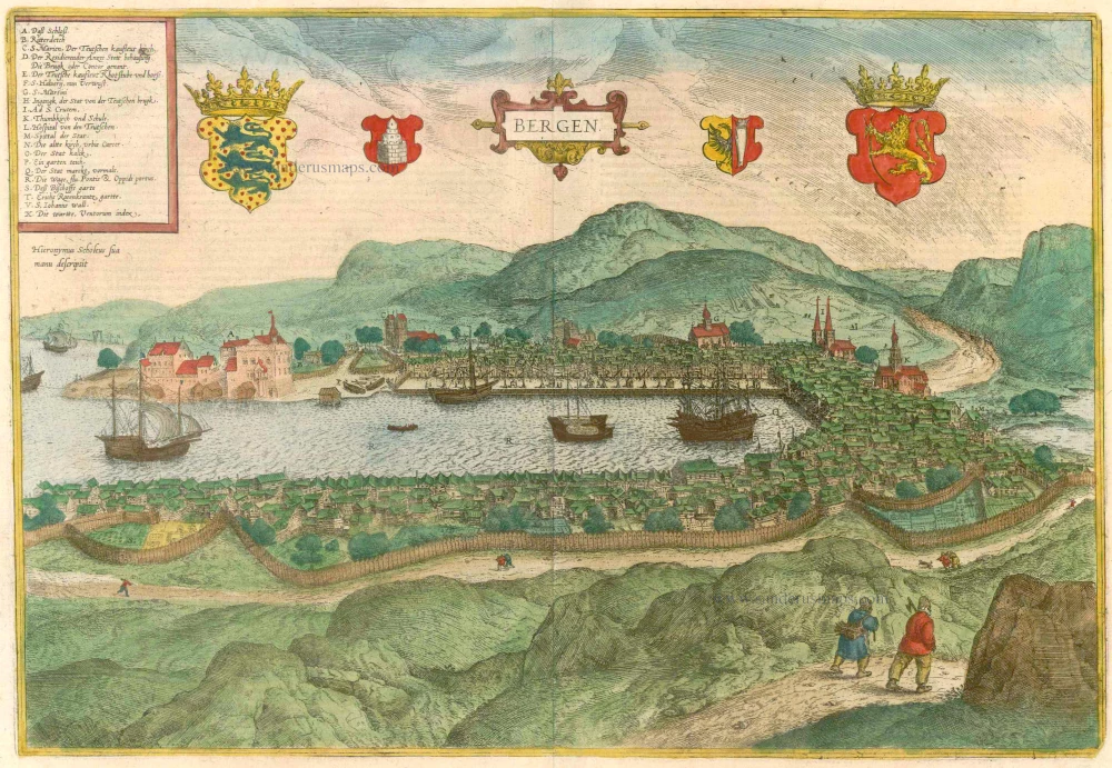
Bird's-eye view of Bergen after Hieronumus Scholäus, with key to locations.
Bergen, founded in 1070 and fortified with a palisade, is seen from the southwest across Vägen Bay, which opens out onto Byfjord. From the dense welter of timber houses soars St Mary's, the Gothic cathedral attended by the German merchants (C), and the fortress of Bergenhus (A), the 13th century seat of the Norwegian kings. The harbour is dominated by the Tyska Bryggen (German Quay), the quarter with the old mercantile houses and the sprawling quay; the numerous cranes and the ships allude to the flourishing trade conducted by the fourth-largest entrepôt in the Hanseatic League. The wealth of what was then the largest city in Scandinavia, which, with an impassable hinterland, could be reached only by sea, came from its far-flung trade in salt fish. Even after the Hansa disbanded in the 17th cent., Bergen retained its importance.
Copper engraving
Size: 32.5 x 48cm (12.7 x 18.6 inches)
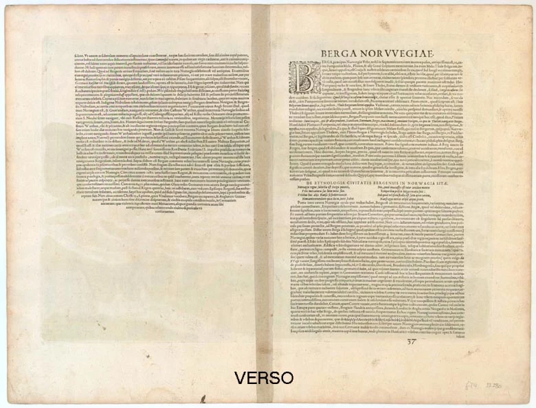
Verso text: Latin
Condition: Old coloured, excellent.
Condition Rating: A
References: Taschen, Braun and Hogenberg, p.316.
From: Liber quartus Urbium Praecipuarum totius Mundi. (Koeman, B&H4)


