
The Northern Pacific Ocean, by T.C. Lotter. 1780
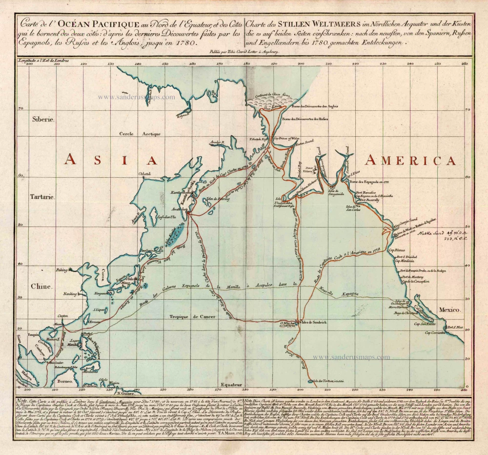
Shows the routes of the Spanish treasure ships and Captain Cook's Third Voyage, 1778, completed by Captain Clarke in 1779.
According to the text in French and German under the map it is based on a map published in the Gentleman's Magazine in December 1780, while the official account was still being compiled. As such it is the first folio map to show Hawaii, where Cook was killed.
Carte de l'Ocean Pacifique au Nord de l'Equateur, et des Cotes qui le Bornent des Deux Cotes: D'Apres les Dernieres Decouvertes Faites par les Espagnols, les Russes et les Anglois, jusqu'en 1780.
Item Number: 11984 Authenticity Guarantee
Category: Antique maps > Oceans
Old antique chart of the Northern Pacific Ocean by T.C. Lotter.
Title: Carte de l'Ocean Pacifique au Nord de l'Equateur, et des Cotes qui le Bornent des Deux Cotes: D'Apres les Dernieres Decouvertes Faites par les Espagnols, les Russes et les Anglois, jusqu'en 1780.
Date: 1780.
Copper engraving, printed on paper.
Size (not including margins): 470 x 510mm (18.5 x 20.08 inches).
Verso: Blank.
Condition: Contemporary old coloured, excellent.
Condition Rating: A.
Shows the routes of the Spanish treasure ships and Captain Cook's Third Voyage, 1778, completed by Captain Clarke in 1779.
According to the text in French and German under the map it is based on a map published in the Gentleman's Magazine in December 1780, while the official account was still being compiled. As such it is the first folio map to show Hawaii, where Cook was killed.
Related items

Caerte van de zeylage van Jacob le Maire over de Zuydzee, vertonende de Eylanden ende Landen aldaer by hem ghesien ende aenghedaen. / Tabula, ductum navigationis, quem in Mari Australi tenuit Iacobus Le Maire ... 1622
Rare chart showing the route taken by Schouten and le Maire from South America to New Guinea, by Michiel Colijn.
[Item number: 25104]
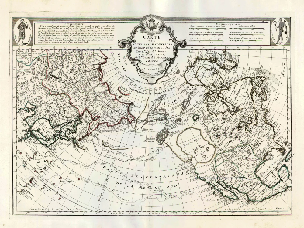
Carte des Nouvelles Decouvertes au Nord de la Mer du Sud, tant à l'Est de la Sibérie et du Kamtchatka, qu'à l'Ouest de la Nouvelle France. 1776-79
Pacific Ocean (North) by Francesco & Paolo Santini
[Item number: 26979]
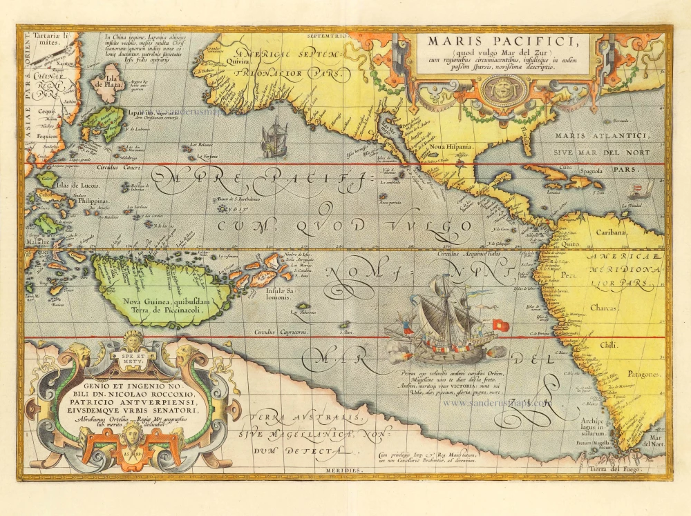
Maris Pacifici, (quod vulgo Mar del Zur) cum regionibus circumiacentibus, insulisque in codem passim sparsis, novissima descriptio. 1601
Pacific Ocean by Abraham Ortelius.
[Item number: 28744]
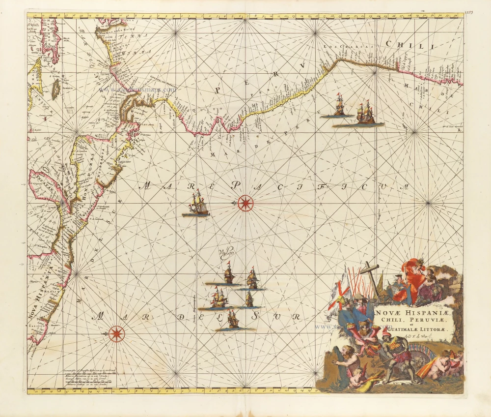
Novae Hispaniae, Chili, Peruviae, et Guatimalae Littorae. ca. 1680
Pacific Coast of America, by Frederick de Wit.
[Item number: 29177]
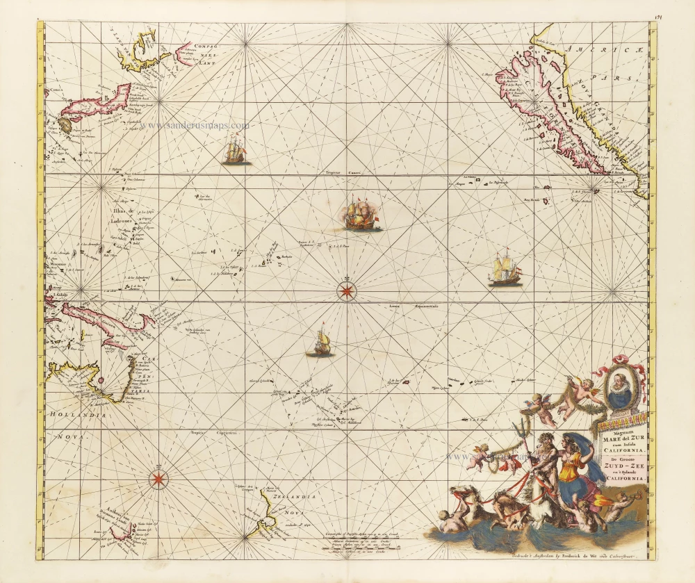
Magnum Mare del Zur cum Insula California = De Groote Zuyd-Zee en 't Eylandt California. c. 1680
Pacific Ocean, by Frederick de Wit.
[Item number: 29241]